Flinders Ranges & Outback
Walking
Walking

| Start Point | Mambray Creek Campground |
| End Point | Mambray Creek Campground |
| Distance | 1.6km return |
| Time | 30 Minutes – Walking |
| Download Map |
GPX KML |
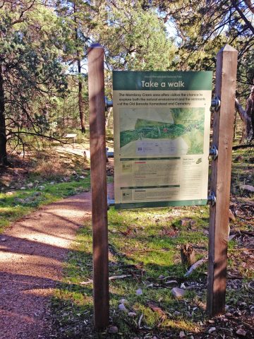
This interpretive section of the Mambray Creek Walk explains the importance of water in the area as you explore rocky river beds.
This trail forms part of a larger trail network within Mt Remarkable National Park. See the Map above for more details or visit National Parks South Australia’s website.
Within easy reach of Adelaide, Mount Remarkable National Park is an ideal place to take the family. There’s lots of diverse wildlife and campgrounds with good facilities. The park is a popular destination for bushwalking, with trails for all ages and abilities. There are some incredible views to be had – the 960m high Mount Remarkable Summit presides over the Willochra Plain and looks out to the Spencer Gulf.