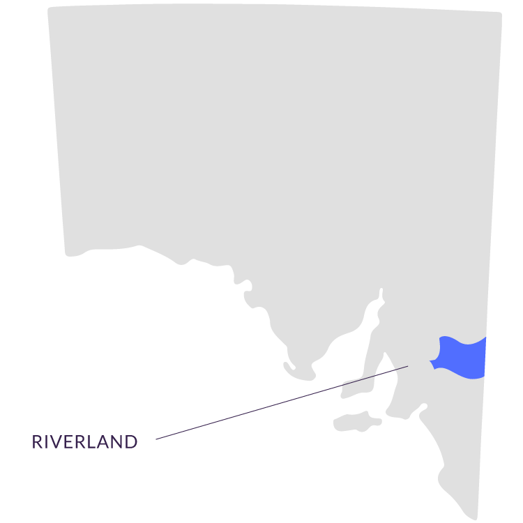
Riverland

Murray River Wetlands, Floodplain Forests, and River Country Walking

RegionRiverland
Trails Available3 trails
ActivitiesWalking, Canoeing
Key AreasKatarapko, Murray River National Park
Distance from AdelaideApproximately 2.5–3 hours northeast
AccommodationCamping, mid-range and houseboat options — See accommodation options

Walking the Murray’s Wetlands and Floodplain Forests

Riverland scenery
Photo: denisbin from Adelaide, Australia / CC BY-SA 2.0 via Wikimedia Commons

The Riverland is the heartland of the Murray River in South Australia — a region where the great river flows between ochre-coloured cliffs, past irrigation-fed vineyards and citrus groves, and through some of the most ecologically significant wetland and floodplain forest systems in the country. The Murray River National Park, which protects key sections of the river’s floodplain, contains nationally and internationally listed conservation areas that support extraordinary biodiversity. River red gum forests, black box woodland, and ephemeral wetlands create a mosaic of habitats that sustain waterbirds, fish, reptiles, and the complex ecological web that depends on the river’s seasonal rhythms.

The Riverland’s character is defined by the relationship between water and land. The towns of Renmark, Berri, Loxton, and Waikerie grew up around the irrigation schemes that transformed the semi-arid landscape into productive horticultural land — today the region produces citrus, stone fruit, almonds, grapes, and olives. But alongside the productive landscape, the conservation reserves protect the natural river ecosystem, and it is here that the region’s walking trails lead. The pace of life in the Riverland is set by the river itself — slow, steady, and deeply connected to the water.

Katarapko and Murray River National Park

Riverland scenery
Photo: State Government Photographer / CC0 via Wikimedia Commons

Katarapko, within the Murray River National Park, is one of the Riverland’s most significant ecological areas — a floodplain system of river red gum forest, black box woodland, and seasonal wetlands that comes alive after flooding. The walking trails here immerse you in the riverine landscape, following the creek channels and wetland edges where waterbirds congregate in extraordinary numbers. The Ngak Indau Wetland Trail explores this floodplain ecosystem, while the Craggs Hut Walk follows historic tracks through the forest. The Kai Kai Nature Trail provides an interpretive walking experience through the park’s varied habitats.

Ngak Indau Wetland Trail — Katarapko — Wetland walking through Murray River floodplain

Craggs Hut Walk — Katarapko — Historic tracks through river red gum forest

Kai Kai Nature Trail — Katarapko — Interpretive walk through riverine habitats

Beyond the Trails — River Country Experiences

The Riverland is as much about the water as the walking. Canoeing and kayaking along the Murray provide access to sections of the river that can only be reached from the water — quiet backwaters, hidden lagoons, and stretches of riverbank where pelicans, cormorants, and white-bellied sea eagles fish undisturbed. Houseboats offer a floating base for exploring the river at its own pace, and the historic locks and weirs — the oldest along the Murray — provide fascinating engineering heritage. The Riverland’s cellar doors, led by Banrock Station Wine and Wetland Centre, combine wine tasting with wetland conservation, while the region’s citrus and almond groves supply farmers markets and roadside stalls.

The Riverland’s trails follow the Murray River through its most ecologically rich landscapes — floodplain forests where river red gums tower overhead, wetlands where waterbirds gather in their thousands, and quiet stretches of river where the only sound is the call of a kingfisher. It is a region where the trails are just one way to experience the river — the canoe, the houseboat, and the riverside walking track all lead to the same discovery: that the Murray, even after 2,520 kilometres, still has stories to tell.