Adelaide’s Most Challenging Park Trail Through Echo Tunnel to Hidden Waterfalls
| Activity | Walking (Grade 5 – Hard) |
| Distance | 6.5 kilometres (loop) |
| Duration | Approximately 2.5 to 3 hours |
| Region | Adelaide & Adelaide Hills |
| Accommodation | Camping, mid-range and premium options — See accommodation options |
| Start Point | Pines Area Car Park, Belair National Park |
| End Point | Pines Area Car Park (loop) |
| Park Entry | Vehicle entry fee applies (free entry on foot or bicycle) |
| Dogs Allowed | Yes – on lead (max 2 metres) |
Overview
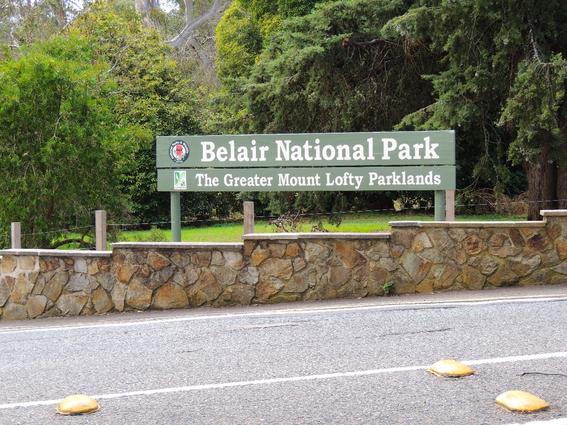
Just twenty minutes from the Adelaide CBD, tucked into the leafy foothills that mark the beginning of the Mount Lofty Ranges, Belair National Park holds a trail that will genuinely test your legs. The Waterfall Hike is a 6.5-kilometre loop that starts from the Pines Area, passes through the atmospheric Echo Tunnel beneath the railway line, and climbs to the rocky escarpments of two seasonal waterfalls before looping back through dense eucalyptus woodland. It is the park’s most challenging trail, graded at 5 out of 5, and recommended for experienced bushwalkers with a solid level of fitness.
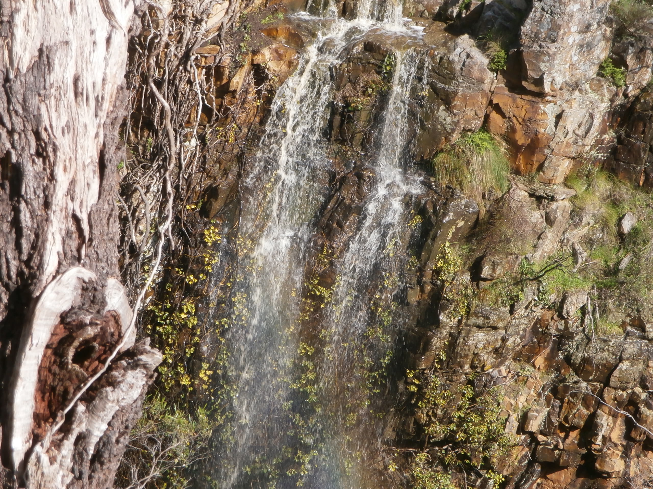
But the difficulty comes with genuine reward. The upper and lower waterfalls are tucked into dramatic rock escarpments that feel remarkably wild for a park so close to the city. In winter and early spring, after heavy rains, the falls flow with real force, sending water cascading over moss-covered ledges into pools below. Even in drier months, the escarpments are impressive — layered sandstone walls rising above the trail, draped in ferns and lichen, with a stillness that invites lingering.
The Walk
Through Echo Tunnel
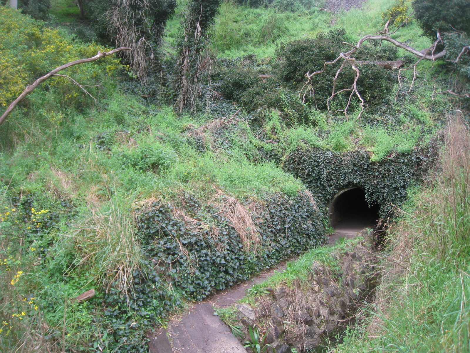
The trail begins at the Pines Area car park, one of Belair National Park’s main picnic grounds. From here, the path descends into bushland and soon reaches Echo Tunnel — a stone-lined pedestrian tunnel that passes beneath the Adelaide–Melbourne railway line. The tunnel is narrow and unlit, so bring a torch and watch your head on the low ceiling. The acoustics inside are remarkable (hence the name), and children invariably spend a few minutes testing the echoes before emerging on the other side.
Once through the tunnel, the trail begins its climb through stringybark eucalyptus woodland. The understorey is rich with native grasses, ferns, and ground orchids, and the birdlife is prolific — Adelaide Rosellas flash through the canopy, kookaburras call from the upper branches, and in the quieter sections, you may hear the distinctive rustling of an echidna rooting through the leaf litter.
The Upper and Lower Waterfalls
The trail reaches the lower waterfall first, where a rocky lookout provides views across the escarpment face. The waterfall drops over a series of sandstone ledges into a narrow gorge below, surrounded by dense vegetation that makes the spot feel secluded and ancient. Take care here — the lookout is unfenced and the rocks can be slippery, especially after rain.
Continuing along the trail, the upper waterfall follows a similar pattern but from a higher vantage point, offering broader views across the gorge and the surrounding woodland. Both falls flow seasonally, with the most impressive flows occurring between June and September after sustained winter rainfall. Even when the water has slowed to a trickle, the rock faces are beautiful — striped with mineral deposits, softened by moss, and framed by overhanging ferns.
Completing the Loop
The return leg of the loop drops back through the woodland via a different route, passing through quieter sections of the park where the chances of wildlife encounters increase. Keep an eye on the eucalyptus canopy for koalas — Belair is home to a healthy population, and they are most often spotted in the taller manna gums along the creek lines. The endangered southern brown bandicoot also inhabits the park, though sightings are rare and usually limited to dawn and dusk.
Kaurna Heritage
Belair National Park sits on Kaurna Country. The Kaurna people knew this area as Piradli, a word meaning “baldness,” describing its appearance when viewed from the Adelaide Plains. The park was an important place for travel, trade, shelter, and ceremony for both the Kaurna and Peramangk peoples. Many features within the park still carry their Kaurna names — the three ridges are known as Willa Willa, Yulti Wirra, and Warri Parri, and the creeks bear names including Minno, Workanda, Tarnma, and Karka.
Proclaimed in 1891, Belair is South Australia’s oldest national park and one of the oldest in Australia. It is also home to Old Government House, a significant heritage building that served as the summer residence of South Australia’s governors.
Planning Your Visit
Belair National Park is located just 12 kilometres from Adelaide’s CBD, accessible by car via Upper Sturt Road or by train to Belair station (a 35-minute ride from the city). Vehicle entry fees apply, but entry on foot or by bicycle is free. The Pines Area car park has toilet facilities, picnic tables, and barbecues. Wear sturdy shoes with good grip, as sections of the trail are steep and can be slippery after rain. Carry water and a torch for the tunnel. Dogs are welcome on lead.
The best time to visit is between May and October, when the waterfalls are flowing and the temperatures are comfortable for a strenuous walk. The park is closed on days of Catastrophic Fire Danger.
The Waterfall Hike is Belair National Park at its most wild and rewarding. It takes walkers from a suburban car park through a tunnel, up through dense bushland, and to the edge of rock escarpments where water falls over ancient sandstone in a setting that feels a world away from the city just over the ridge. For Adelaideans looking for a serious walk close to home, this is one of the best there is.
Where to Stay
Planning an overnight trip? See our Adelaide Hills Accommodation Guide for the best places to stay near this trail.