Barossa
Walking
Walking
| Start Point | Wallowa Track, Flaxman Valley SA 5235, Australia |
| End Point | Granite Track, Flaxman Valley SA 5235, Australia |
| Distance | 4.7km |
| Time | 2 Hours – Walking |
| Download Map |
GPX KML |
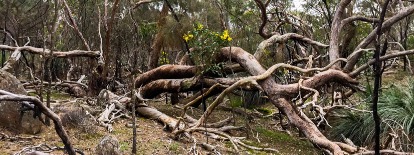
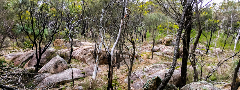
Nestled amongst the Barossa Ranges, Kaiserstuhl Conservation Park is perfect for bushwalkers, rewarding you with panoramic views, fascinating rock formations and a range of native plants and animals.
There are two walking trails within this park which pass through a variety of landscapes including creeks, rocky outcrops, areas of low forest, scrub and open grassland. The park has panoramic views across the ranges to the Barossa Valley.
The Wallowa Hike offers a comprehensive look at the park’s main features, including a scenic lookout and rock formations such as Horse Head Rock. Weathering and erosion have produced this rock formation which, as the name suggests, resembles a horse’s head. Capped Rock, a horizontal rock slab perched on a vertical outcrop, is another interesting feature and provides an exciting photographic challenge. Near the pine forest, a short signposted detour leads to a lookout on top of a large granite rock outcrop. Be rewarded with views of other impressive outcrops and a panorama of the ranges to the valley floor below.
Watch for western grey kangaroos and native birds such as honeyeaters, tree-creepers, rosellas and lorikeets.
The Stringybark Loop provides a brief look at the park’s diverse flora and fauna.