Adelaide & Adelaide Hills
Walking | Cycling
Walking | Cycling
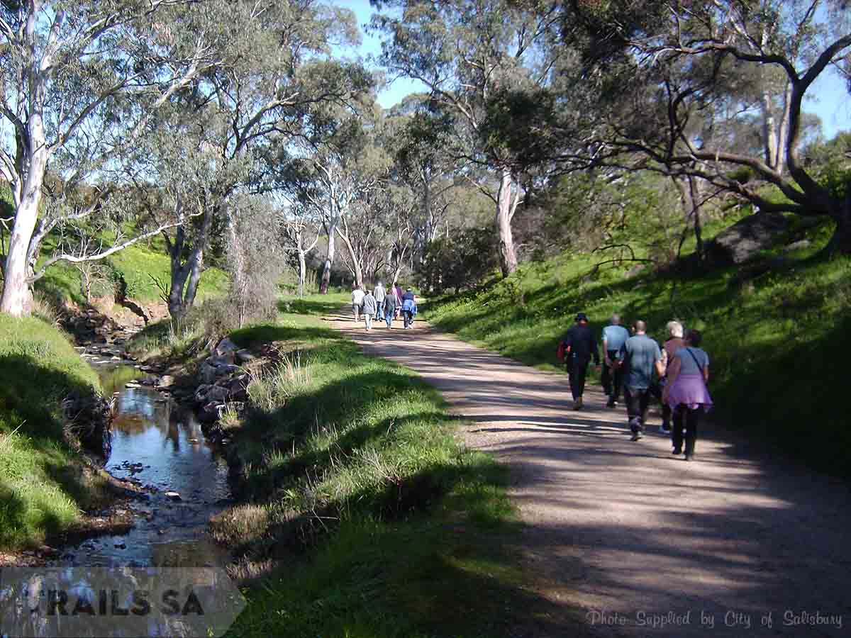
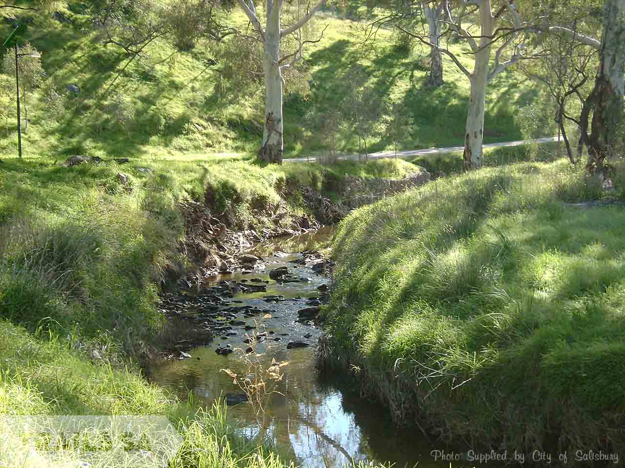

The Little Para Trail is the most significant trail in the City of Salisbury which allows riders to follow a predominantly flat 10km trail (apart from a short on road detour at Porter st) from Carisbrooke Park (next to Main North Rd) to Port Wakefield Rd.
There is also an opportunity to follow the trail under Main North Rd and up the hill above the Old Spot Hotel for 1.4km before becoming Private Property.
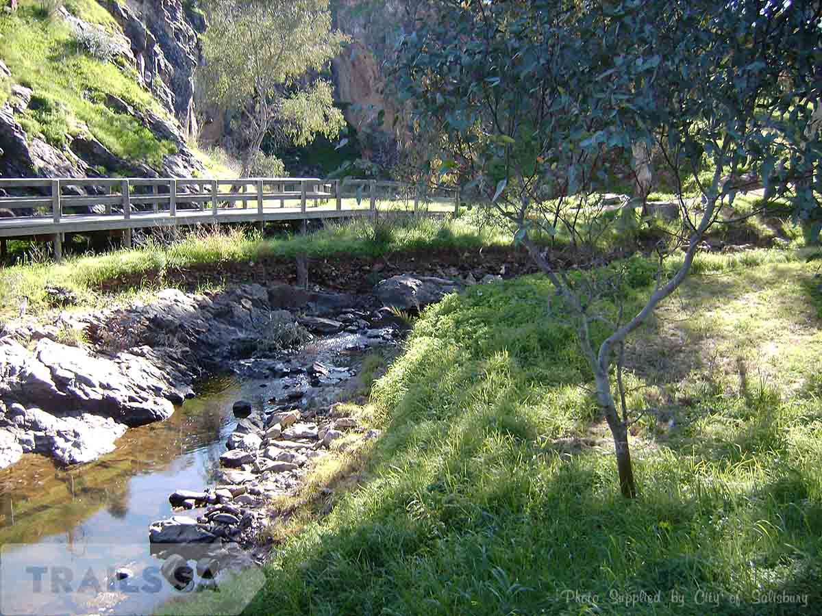
Work completed has seen an all-weather (bitumen) surface option for walkers & riders from Parabanks in Salisbury to under Port Wakefield Rd at Bolivar and west of Port Wakefield rd alongside the White Road Wetlands and around Globe Derby park, linking with the Dry Creek Trail.
There are a number of easy access points to join the Trail:
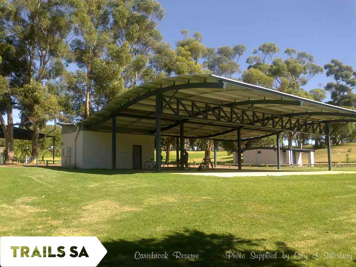
Carisbrooke Reserve (open Sunrise to Sunset) – Main North Road, Salisbury Park (opposite the Old Spot Hotel)
Trail accessible via the top (via slip road by Malinya Drive) and bottom car parks (directly off Main North Road)
Parabanks Shopping Centre – Gawler Street, Salisbury
Trail is opposite carpark
Hausler Reserve (sometimes known as Greentree Park) – Cnr Kings Rd & Greentree Boulevard, Parafield Gardens
(open 24 hours)
Download the City of Salisbury Little Para Trails brochure here.