Adelaide & Adelaide Hills
Walking
Walking


| Start Point | Morialta Conservation Park |
| End Point | Morialta Conservation Park |
| Distance | 2.38km |
| Time | 42 Minutes – Walking |
Cross the creek and follow the Morialta Falls Plateau Hike to climb out of the valley floor.
Once out of the valley you will have great views back to Adelaide city and out to the northern suburbs.
In winter walkers will be rewarded with a stunning array of orchids flowering on the side of the trail.
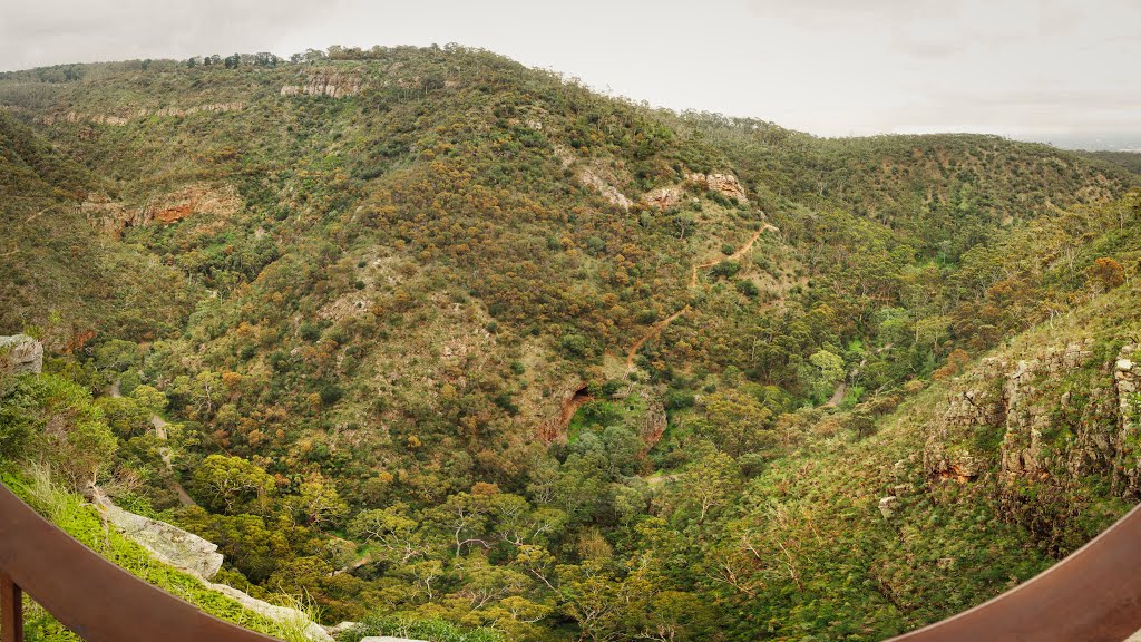
Views form Deep View lookout gives a panoramic view of the valley with First Falls just visible. Look for Brown and Peregrine Falcons using the valley.
National Parks South Australia Morialta Falls Map can be downloaded here.
For over 100 years, the gorges, waterfalls and woodlands of Morialta have provided a recreational escape for walkers and rock climbers just 10km from the city of Adelaide.
Enjoy the rugged ridges, gully scenery and seasonal waterfalls that make up Morialta Conservation Park. The three waterfalls along Fourth Creek are popular features of the park and are linked by an extensive network of walking trails. The views from the rock climbing zone also provide opportunities to admire Morialta Gorge and the nearby Adelaide plains.
The first two falls are the grandest, each cascading over sheer quartzite cliffs after rain. To see the falls at their best, visit the park during spring or winter when the water flow is strongest. For wildlife lovers, the park’s rock pools and creeks provide habitat for small reptiles, frogs and birds. Watch out for honeyeaters and thornbills among the woodlands that cover the hills.