Fleurieu Peninsula
Walking
Walking

| Start Point | Trig Picnic Area or Tapanappa Lookout, Deep Creek |
| End Point | Trig Picnic Area or Tapanappa Lookout, Deep Creek |
| Distance | 12km return |
| Time | 7 Hours – Walking |
| Download Map |
GPX KML |
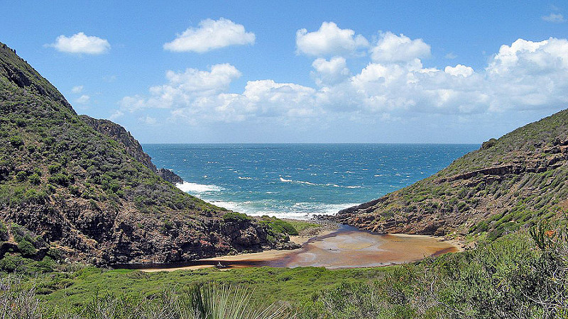
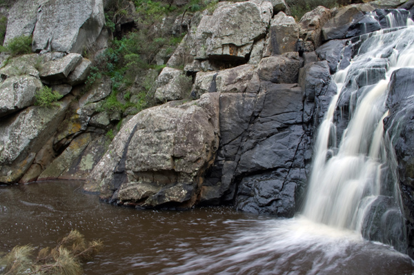
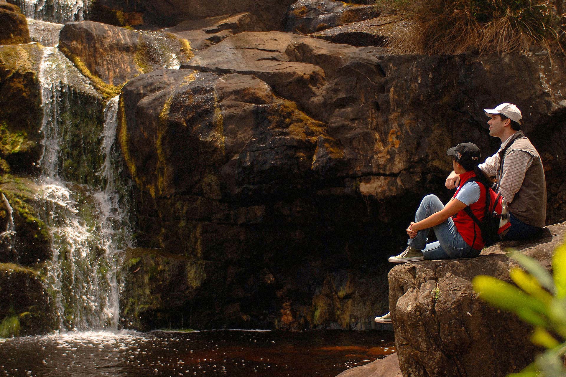
This hike offers some of the best ocean and bush views in the park. It takes you to the waterfall and down into Deep Creek Cove. In wet weather it can be difficult to cross Deep Creek, do not try to cross when flooded. Best taken in a clockwise direction, this is the most challenging trail in the park. Suited to experienced, fit walkers. The trail can be started from Trig Picnic Area or from Tapanappa Lookout.
Deep Creek Conservation Park is the largest portion of remaining natural vegetation on the Fleurieu Peninsula and is home to an array of native wildlife such as western grey kangaroos, short beaked echidnas and 100 species of birds that can be heard and seen while walking in the park.
Deep Creek is the only national park within 100km of Adelaide that offers bush camping. Four campgrounds are accessible by 2WD and one is ‘hike-in’ only and situated on the Heysen trail, making it an ideal environment for a family adventure.
The 15 walking trails in the park provide spectacular scenery of Backstairs Passage, Kangaroo Island and the rugged Deep Creek Valley. The walks range from easy to very difficult so accommodating for all ages and abilities. The walking trail network in Deep Creek Conservation Park includes sections of the famous Heysen Trail.
More information can be found on the National Parks South Australia Website.