Clare Valley
Walking | Cycling
Walking | Cycling

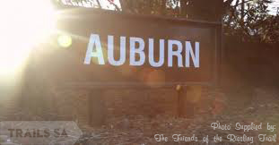
| Start Point | The restored Auburn railway station building, Mount Horrocks Wines, Auburn, SA |
| End Point | The Old Barinia Railway Siding, Barinia Road, Stanley Flat, SA |
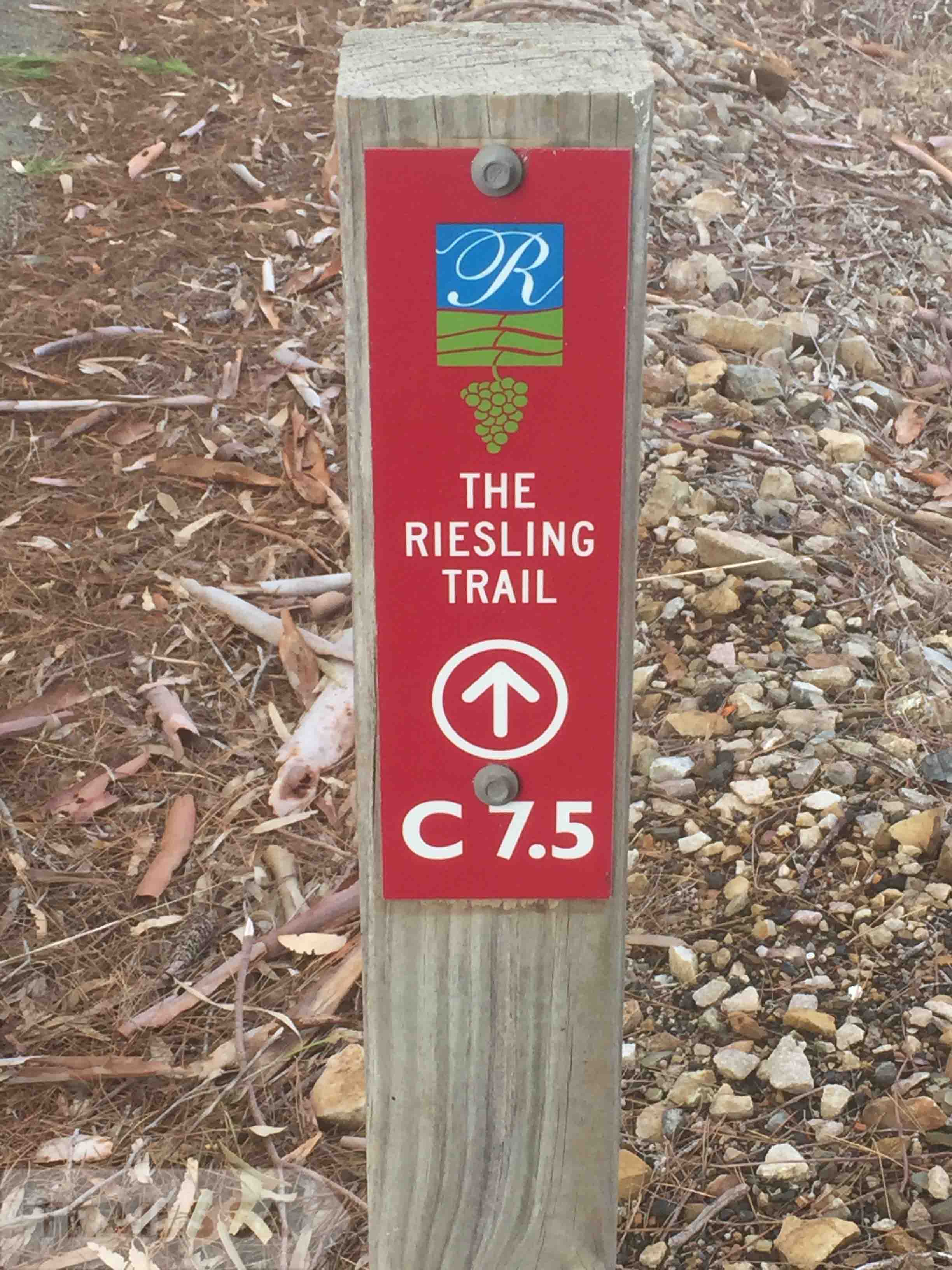
| Distance | 33.0km |
| Time | 7.5 Hours – Walking |
| Time | 4.5 Hours – Cycling |
| Download Map |
GPX KML |
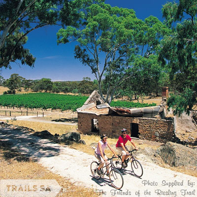
The Riesling Trail was originally a railway line that traveled between Adelaide and Spalding that was first established in 1860. It’s future was becoming uncertain in the 1980’s and after it received substantial damage during the 1983 Ash Wednesday bushfire a decision was made to close the line down. A group of locals believed it could be rejuvenated as a recreation trail and in 1994 it reopened as the Riesling Trail. It was the first conversion of a railway line into a recreation trail for walking and cycling in South Australia.
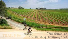
The Riesling Trail is 33 km’s long. The southern terminus is the restored Auburn railway station building which is now home to Mount Horrocks Wines. The Trail is connected to the township by travelling west across the River Wakefield via a cycling/walking bridge. Once on Horrock’s Highway, trail users travel north via a shared pathway and connect with the railway corridor just north of the town. From here it rises through constantly changing countryside, overlooking many vineyards which provide outstanding views.
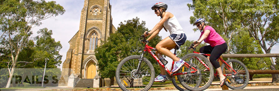
The Trail passes through the small township of Leasingham which has cellar doors and an art gallery to visit located a short distance from the Trail. From Leasingham the Trail leads onto the village of Watervale which has a number of places for users to visit. Exploring towards the eastern side of the trail users can visit places such as wineries, a pub and the General Store. Soon after leaving Watervale, the Trail passes under Horrock’s Highway before reaching its summit in Penwortham, the first site of European settlement in the region. Close by are the historic St Mark’s Church and John Horrocks Cottage (previously known as Green’s cottage) which are both linked to the founder of the village, John Ainsworth Horrock’s.
If feeling parched you might like to visit the cellar door that is metres away from the trail to the west on Morrison Road. From Penwortham the Trail gently descends through beautiful farmland before reaching the site of the Sevenhill siding with its restored railway platform. The township of Sevenhill is a short distance from the trail and has a bakery and hotel that trail users might want to visit. One of the best playgrounds for children is located alongside the trail in Richardson Park.
The Trail then travels through the vineyards of the historic Jesuit settlement of Sevenhill Cellars and St Aloysius Church. The Cellars were the first winery established in the Clare Valley in 1851 and are still producing award winning wines along with supplying the majority of sacramental wine for Churches throughout Australia. Sevenhill Cellars are very happy for Trail users to enjoy the use of their picnic facilities located on their grounds. The entrance to this site is through a gate that is located on the eastern side of the Trail where it crosses College Rd.
Leaving the vineyards, the Trail passes over the Quarry Rd Bridge and then skirts around the grounds of the Clare Showgrounds. The Clare Valley Wine, Food and Tourism Centre and the Clare Discovery Caravan Park can be found on the western side of the Showgrounds.
Passing more cellar doors the Trail then reaches the old Clare Railway Station. Proceeding northwards the Trail leaves Clare and crosses the Farrell Flat Road railway bridge and enters a deep cutting before reaching a high embankment overlooking the vineyards of White Hut. After crossing the White Hut Road the Trail enters a short section of natural bushland before reaching Hubbe Road and passing nearby to the historic White Hut Cemetery. Entering more vineyards and crossing the White Hut Creek the Trail reaches Barinia Road which is its northern terminus.
You can download a PDF map here: Clare Valley Riesling Trail Map
More information and history can be found on the Riesling Trail Website