Adelaide & Adelaide Hills
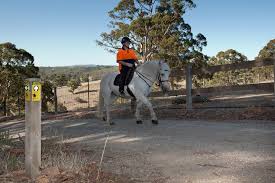
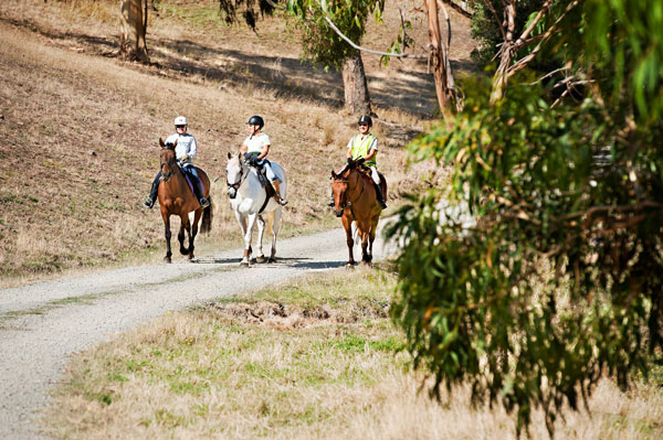
Horse Riding | Walking | Cycling
Horse Riding | Walking | Cycling


| Start Point | Various |
| End Point | Various |
| Distance | 107.86km |
| Time | 3.09 Days – Horse Riding |
| Time | 3.09 Days – Walking |
| Time | 1.98 Days – Cycling |
The City of Onkaparinga has a series of online maps and information available by clicking here.
This natural terrain multi-use trail network broadly spans from Cherry Gardens in the north, to Kangarilla in the south and Woodcroft in the west.
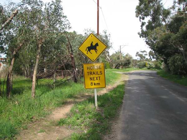
Established through on-road linkages, road verges and unmade road reserves this trail is designed for horse riding and can be utilised by walkers and cyclists.
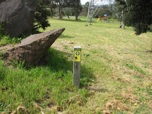
The level of difficulty and recreational activity type is dependent on terrain and location. The trail alignment is identifiable through a series of trail markers which are located generally at points where the trail changes direction.