Adelaide & Adelaide Hills
Walking | Cycling
Walking | Cycling

| Start Point | Coromandel Valley SA |
| End Point | Glenelg North SA |
| Distance | 13.50km |
| Time | 3.94 Hours – Walking |
| Time | 2.16 Hours – Cycling |
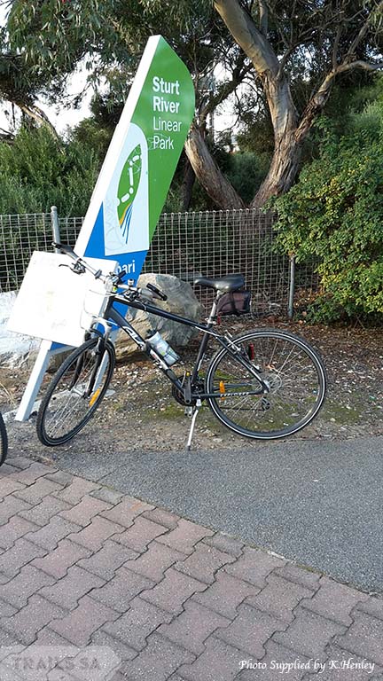
This shared use trail has been developed across a number of council areas.
More information can be found: