Murraylands
Walking
Walking
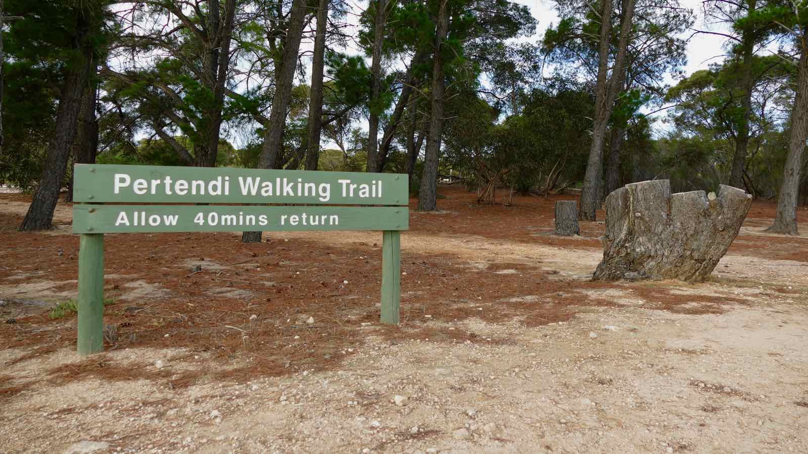
| Start Point | Pertendi Track, Ngarkat Conservation Park, SA 5302, Australia |
| End Point | Pertendi Track, Ngarkat Conservation Park, SA 5302, Australia |
| Distance | 2.0km |
| Time | 40 Minutes – Walking |
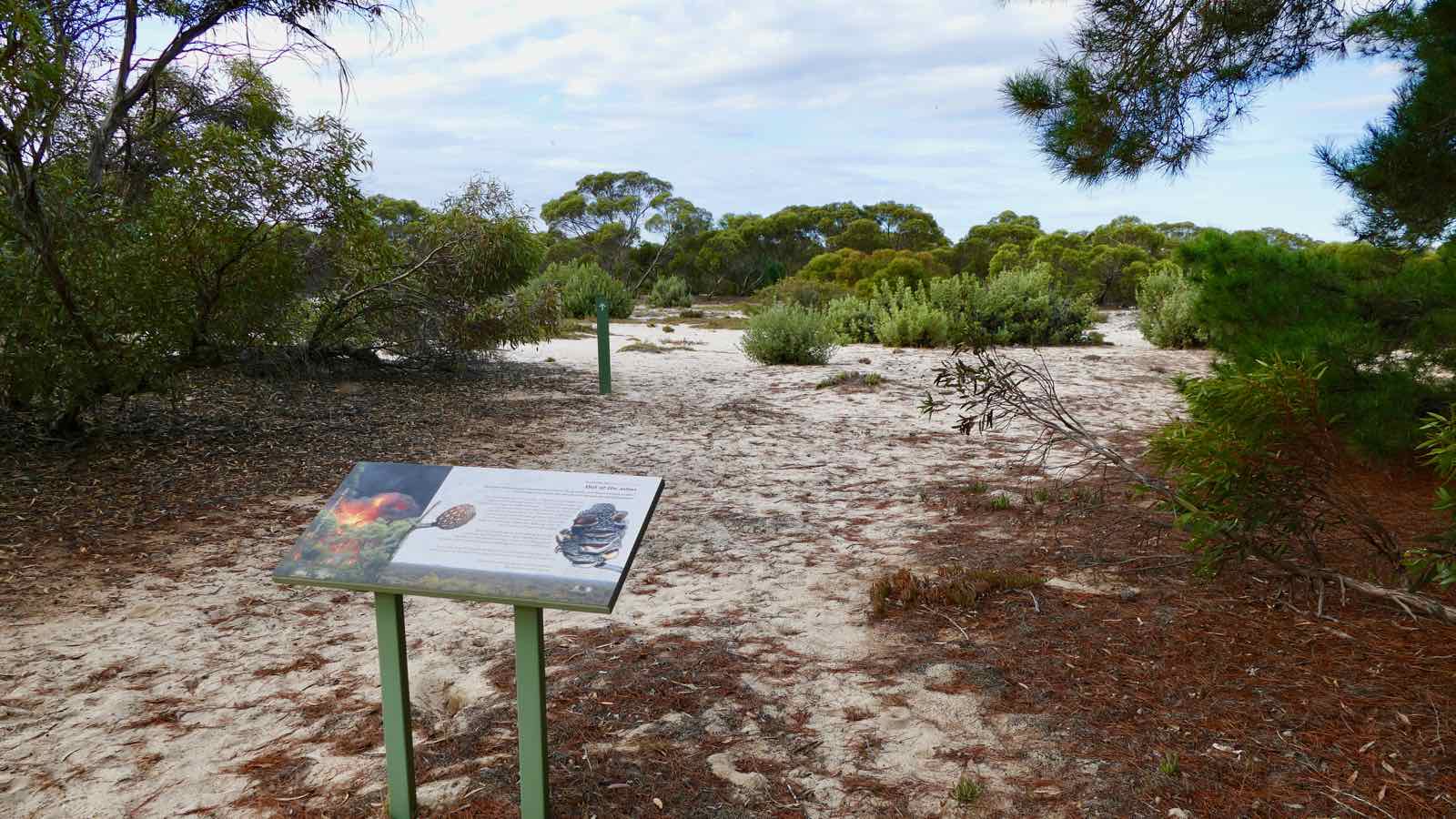
This hike is located in the Ngarkat Conservation Park and is a fascinating insight into mallee vegetation. It is well worth taking your time to read the signs along the way.
Enjoy the peaceful surroundings of the Ngarkat Conservation Park and take in the views over the park’s 270,000 hectares of vegetated sand dunes, mallee and heath.
The park abounds in wildlife. Look out for western grey kangaroo and emus and more than 120 species of birds.
You may even spot a rare malleefowl walking slowly among the trees.