Adelaide & Adelaide Hills
Walking | Cycling
Walking | Cycling
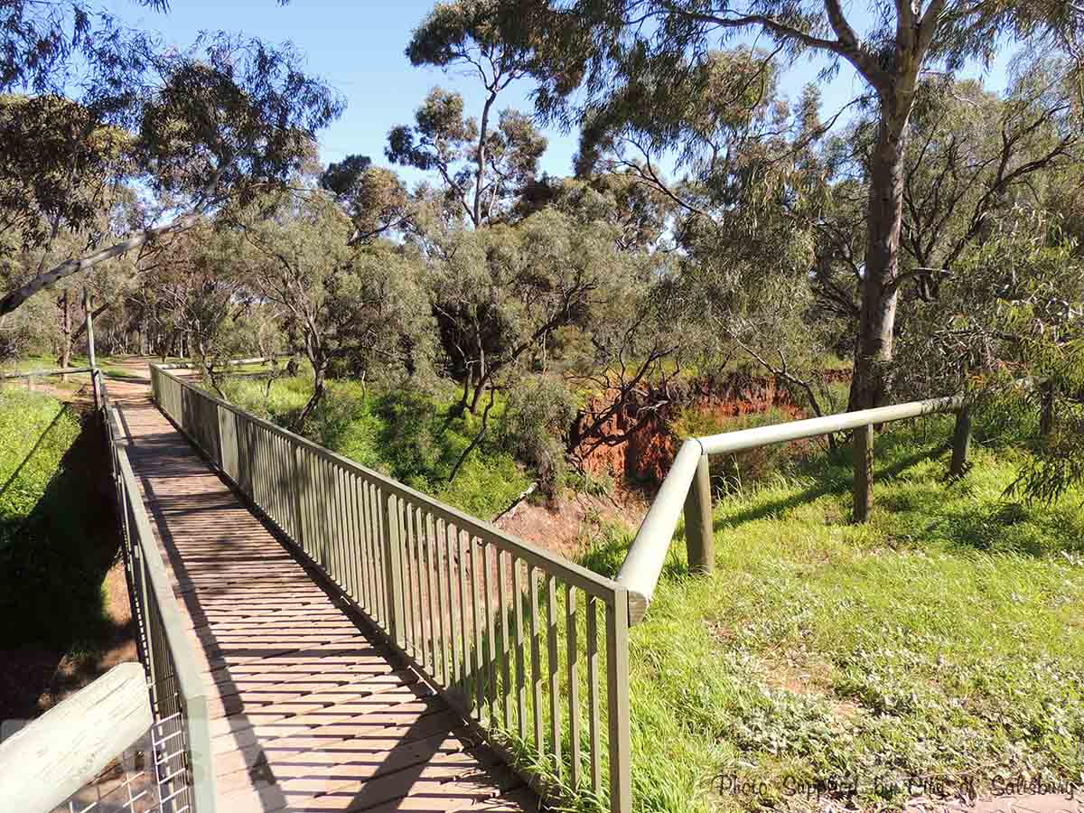
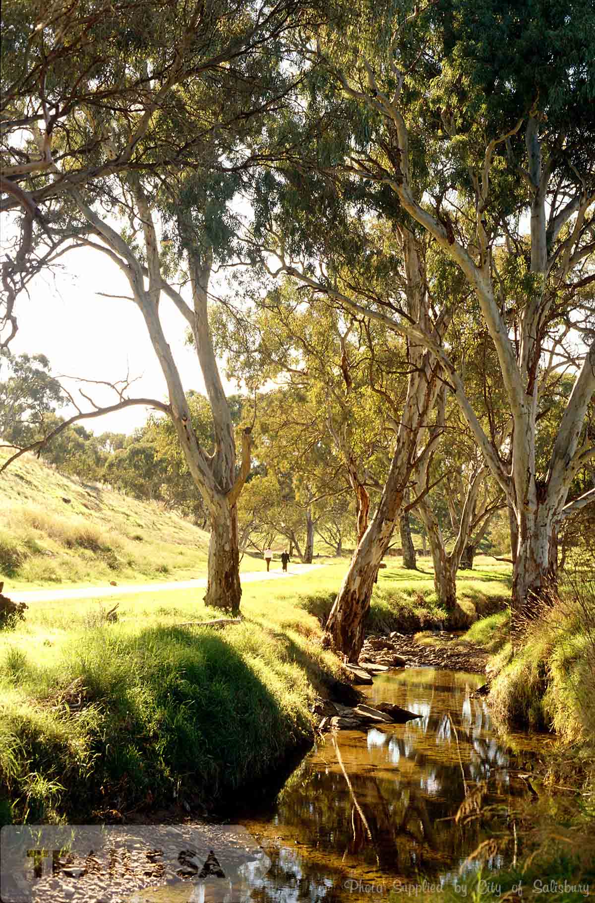
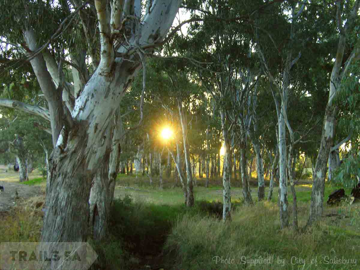
The Dry Creek Trail runs all the way though the City of Salisbury from Down Drive Valley View, through Walkley Heights, Pooraka & Mawson Lakes to Globe Derby (with a couple of Road crossings at Briens Road, Main North rd and Pt Wakefield Rd and the railway line at Mawson lakes).
There is also a short on road section at Pratt Ave Pooraka.
The Dry Creek trail now is connected to the Little Para River Trail behind Globe Derby.
Please note the new cycling / pedestrian underpass at Port Wakefield rd – Globe Derby is effected by tides.
There are a number of easy access points to join the Trail:
Greenfields / The Watershed – 665 Salisbury Hwy, Mawson Lakes
The trail is accessible via a dirt track north of the carpark
This car-park is open during Watershed opening hours only. (8:00 AM – 4:00 PM)
Mobara Park – 14 Garden Terrace, Mawson Lakes
Trail runs next to park (open 24 hours)
Stockade Park – Hoods Road, Northfield
Track from the park leads down to the Dry Creek Trail from the car-park
Open 6am – 6pm
More information is available on the City Of Salisbury Website.