Adelaide & Adelaide Hills
Walking | Cycling
Walking | Cycling
| Start Point | North Haven |
| End Point | Sellicks Beach |
| Distance | 70.00km |
| Time | 1 Day – Walking |
| Time | 1 Day – Cycling |
| Download Map |
GPX KML |
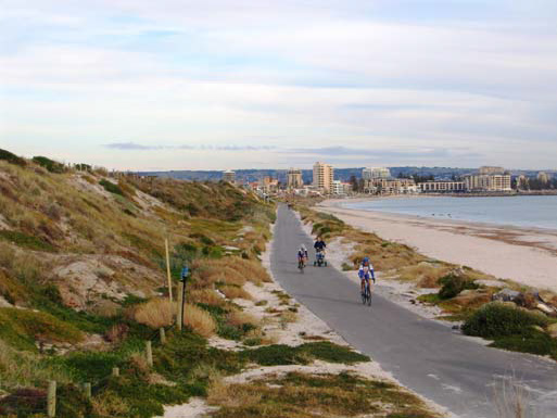
The Government of SA and six local councils have been working on a scheme to create a Coast Park – a 70km walking and cycling path along the metropolitan Adelaide coastline, from North Haven through to Sellicks Beach. It has been progressively developed since 1992.
The Park will include, as far as possible, a continuous two-way pathway or trail for walkers and cyclists along the coastal foreshore.
Most of the coast is now walkable. The major exception is around Port Stanvac, where no trail yet exists, or even rough footpath. Sections between Moana and Port Willunga may also be rough, but still easy enough for walkers to follow. Some sections involve walking on roadside footpaths, or short sections of beach.
The vision for the finished Coast Path is a continuous two-way shared pathway.